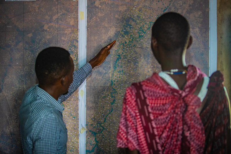
Geospatial data is location-based data. Analysis of this type of data is used to better understand the relationship between people and places. These relationships are commonly portrayed on a map. Examples of geospatial data include census data, satellite imagery, weather data, cell phone data, and social media data. In the international development context, USAID uses geospatial data and analysis to visualize where needs are concentrated, where programs are implemented, and the effectiveness of those programs by geographic location. This geographic approach to development informs where to target future programs and investments.
Geospatial Data and Analysis
Geospatial data and analysis includes the collecting, combining, analyzing, and visualizing of multiple types of geospatial data.
Find more resources and tools by topic